

MORNING: Gusty northwest winds at 20-35 mph in Las Vegas cause blowing dust and debris. Peak winds of 45 mph in Centennial Hills, 40 mph in Summerlin and North Las Vegas, and 35 mph in Boulder City. Readings start in the mid 50s to low 60s with a mostly sunny sky.

AFTERNOON: Northwest winds continue at 25-35 mph in Las Vegas with stronger gusts in the aforementioned neighborhoods. Highs in the mid 60s, about 10° cooler than yesterday, with sunshine.
EVENING: Northwest winds at 15-25 mph with temperatures in the 50s and a clear sky.
TONIGHT: Lows in the upper 40s with continued 15-25 mph northwest winds.
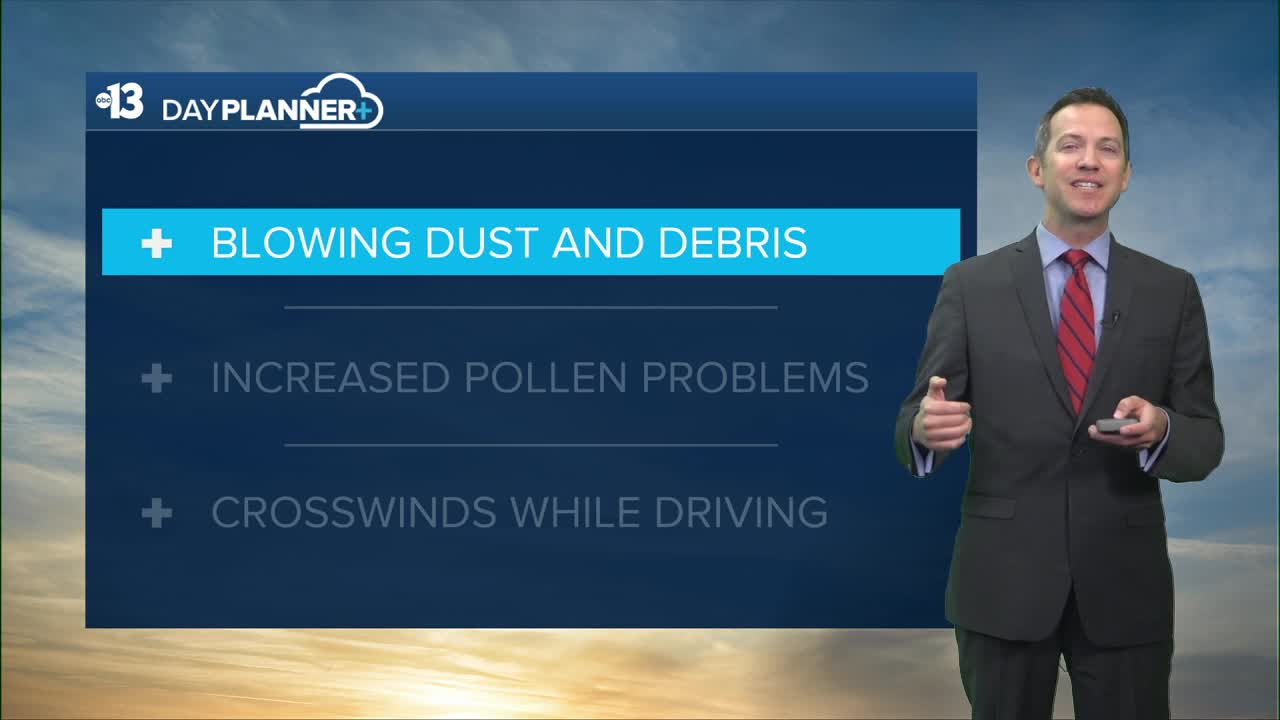
A Wind Advisory has been extended through Saturday as strong gusts cause blowing dust and debris, crosswinds while driving, and make the high pollen levels feel even worse. Peak gusts today hit 50 mph in Laughlin, 45 mph in Centennial Hills, 40 mph in Summerlin, North Las Vegas, and the Spring Mountains, 35 mph in Henderson, Boulder City, Las Vegas, Red Rock Canyon, and Nellis Air Force Base, 30 mph in Pahrump and Moapa, and 25 mph in Mesquite.
Friday remains blustery (north winds 15-25 mph) with mostly sunny conditions and highs in the mid 60s after a chilly start in the upper 40s. Lows Friday night dip back to the upper 40s as breezes continue.
Northeast gusts increase to 30 mph on Saturday and that will limit highs to 69° despite a sunny sky.
We spring forward Saturday night, setting the clocks forward one hour to return to daylight saving time. Sunrise and sunset shift one hour later starting Sunday, to near 7 a.m. and 6:45 p.m., respectively.
Sunday looks sunny and milder, in the upper 70s after starting in the upper 40s. We'll have some northeast breezes at 10-20 mph to finish the weekend.
Highs are near 80° early next week, then climb to the low 80s Thursday and the mid 80s Friday through next weekend. Upper 80s to low 90s are expected across the middle of the month of March!
The forecast pollen levels have climbed to the "high" category and will remain elevated for the next month as trees continue to bloom across the valley. Ash, juniper, and elm are the predominant pollen types. Showering and changing after you've been outdoors, and keeping windows closed (especially when it's windy) is advised. Dust and dander aggravate allergies, but vacuuming and dusting often will help.
The UV index is "high" from 11 a.m. through noon, meaning a sunburn could happen in 30 minutes for some people, so grab a hat and sunscreen if you're outside from mid-morning to mid-afternoon (9 a.m. to 3 p.m.).
The air quality forecast is "good" the next few days, although open areas will be inundated with blowing dust Thursday, Friday, and Saturday.