

TONIGHT: Rain late Low:52° Winds: E 5-10
TUESDAY: Rain High:58° Winds:SE 5-10
WEDNESDAY: Showers High:58° Winds:Light & Variable
Monday’s Haiku
Cold and wet Tuesday
Some heavy rain possible
Highs in the fifties
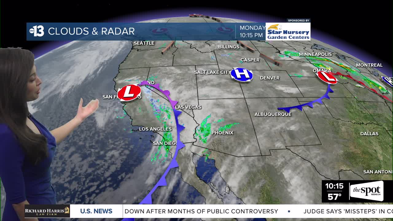
Cloudy skies with more rain headed our way later tonight as an area of low pressure moves into Southern Nevada. Wet day on Tuesday with heavy rain at times and the rain will continue into Wednesday. Total rainfall around 0.50” possible by Wednesday night. Another round of rain arrives later in the week, but it doesn’t looks as wet. Colder temps starting on Tuesday with highs only reaching into the upper 50s. Average high is in the mid 60s for this time in November. The upper 50s will continue through the rest of the work week. Dry and milder this weekend as high pressure builds in. Highs in the mid 60s with mostly sunny skies. Overnight lows in the 40s.
Flood Watch in effect 10 pm tonight – Wednesday 4am. Excessive rainfall could lead to areas of flooding. Turn around, don’t drown
Winter Storm Warning in effect 10 pm tonight – Wednesday 4am. Heavy snow expected. 5-10” above 7000 , 10-16” above 8000’ and 16-24” above 9000’. Low visibility and snow covered roads could make travel difficult to impossible.
