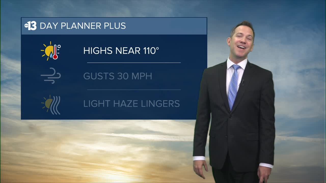


LAS VEGAS (KTNV) — Las Vegas expects temperatures in the mid 80s at sunrise. We'll sizzle at 110° this afternoon under a mostly sunny sky and gusty southwest winds at 15-30 mph.
This evening drops to the 90s as breezes linger. Lows late tonight only fall to the mid 80s.

Haze lingers across Southern Nevada as smoke from California's Gifford, Gold, and Rosa fires drifts around the Desert Southwest, but it won't be a big problem. Las Vegas air quality improves from "unhealthy for sensitive groups" today to "moderate" tomorrow, but people with asthma and respiratory issues should limit time outdoors.
The hot stretch ahead of us is as intense and prolonged as anything we've seen since the first half of July.
Highs hit 109° Friday, 107° Saturday, and 108° Sunday. Gusts hit 30 mph Friday, then 20 mph Saturday, and weaken to 15 mph Sunday into early next week as the ridge of high pressure over New Mexico drifts near Southern Nevada. That shift will drive more intense heat; Las Vegas sees 110° Monday and Tuesday, and 108° Wednesday.
An uptick in monsoon humidity late next week (mid-August) would send highs below 105° and encourage some 10%-20% pop-up rain chances across Southern Nevada.
The UV index is "very high" from 11 a.m. to 2 p.m. (sunburn in 15 minutes). Sunscreen, a broad hat, and light-colored, lightweight clothing are smart if you're outside for any length of time between 8:00 a.m. and 5:00 p.m.
The forecast pollen levels are "medium" this week, with grass and chenopods listed as the predominant pollen types.
