

TONIGHT: Partly cloudy skies. S SW Wind 6-10mph. Low: 51°
MONDAY: Parly cloudy skies with a 30% showers in the afternoon. Breezy with gusts up to 20mph. High: 64°
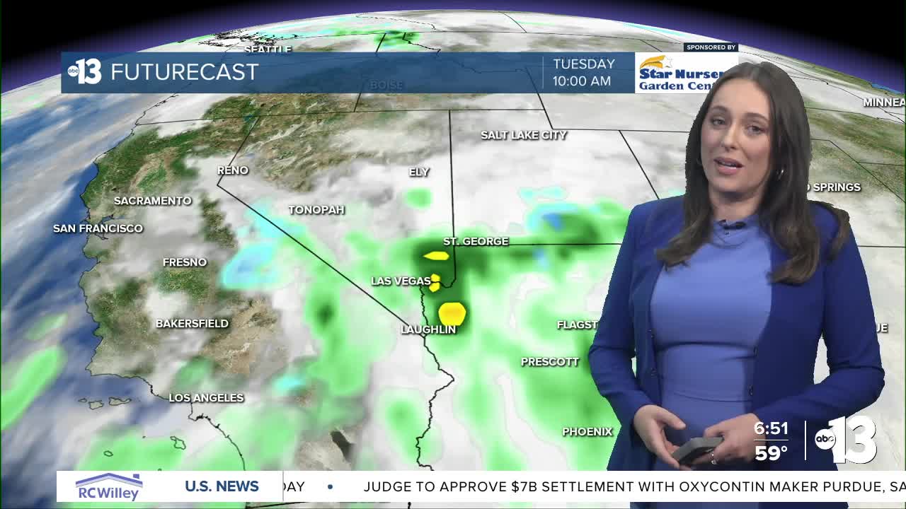
TUESDAY: 70% chance showers, possible t-storms. High: 58°
We're on track to see a few more days this week with more active weather, so keep your umbrellas handy this week...and the warm winter jackets!
Saturday broke a daily precipitation record with 0.62" rainfall at Harry Reid. Lee Canyon also reported 7" snow!
The next weathermaker is expected to roll into Las Vegas Monday evening. We'll see a 30% chance of showers after 4PM and a 60% chance of showers after 10PM. On Tuesday, we have a 70% chance of rain.
This system is expected to produce snow about 6,000 feet in the Spring Mountains and Sheep Range so the National Weather Service has issued a Winter Weather Advisory for both locations indicating reduced visibility and slick roads. That alert goes into effect Monday at 4PM and expires Tuesday at 10PM.
Temperatures are kept to below-average levels this week starting with a high of 64 degrees Monday. Then, due to the incoming low pressure system, our highs drop to the upper-50s Tuesday through Thursday! Brrrr!!!! Lows will drop to the mid-40s Tuesday night.
