

TONIGHT: Mostly clear Low:61° Winds:Light & Variable
TUESDAY: Sunny High:91° Winds:Light & Variable
WEDNESDAY: Sunny High:95° Winds:Light & Variable
Monday’s Haiku
Clear and mild tonight
Sunny and quite warm Tuesday
Highs in low nineties
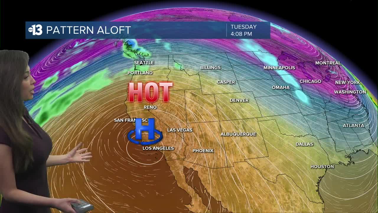
Mostly clear and mild tonight with lows in the 60s. The dry and unseasonably warm weather continues this weekend as high pressure remains over the region. Average high temperature is 72° and we’re going to be more than 20 degrees above that later this week.
Record heat begins on St. Patrick’s Day and continues through the week and into the weekend. An Extreme Heat Warning in effect starting on Wednesday 11am-Sunday 8pm. Limit time outdoors between 11am-5pm, stay in air conditioning when possible and drink plenty of water and sports drinks. Wear a hat and sunscreen if you’re going to be outside. Do not leave young children and pets in unattended vehicles and remember to check on neighbors and the elderly.
These temperatures are more typical of early June than mid March. The hottest temperature on record in March is 93° (set in March 2022) and that record will be broken during this intense heat wave and daily record highs will be shattered.
St. Patrick’s Day 91° (Record 91° ) Wednesday 95° (Record 90° ) Thursday 97° (Record 90° ) Friday 98° (Record 90° ) Saturday 97° (Record 92°) Sunday 93° (Record 91°)
