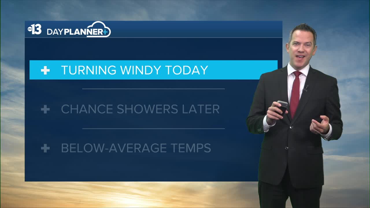


MORNING: Mostly sunny with upper 50s early and developing southeast 10-20 mph breezes. Winds strengthen as temperatures climb through the 60s after 9 a.m.
AFTERNOON: South gusts 30-40 mph with increasing clouds and highs in the low 70s; chance of showers reaches 40% by late afternoon. Rumbles of thunder are possible, but rain totals look light, under 0.10".
TONIGHT: It remains breezy this evening (15-25 mph) with readings in the 60s dropping to the 50s by midnight. Shower chances drop from 40% at sunset to 20% by midnight. Lows late tonight dip to the low 50s with wind chill values in the 40s.

Rain and wind-blown snow are expected in the Spring Mountains, with a dusting above 7,000 feet (Mt. Charleston), 2" above 8,000 feet (Lee Canyon), and 4" above 9,000 feet.
Wednesday is cool and sunny, with low 50s early and mid-to-upper 60s in the afternoon, about 15° below-average, as breezes stay light at 5-15 mph.
Thursday sees 71°, with mid 70s Friday, upper 70s Saturday, and 80° Sunday. Next week sees highs in the 70s, which is a bit below-average for mid-to-late October. A system stirs up breezes on Monday and brings a 10% shower chance.
Lows will be in the 50s late at night through sunrise each morning this week and next week.
Even though it's fall, don't forget the sunscreen if you're out enjoying the weather; the UV index is "high" from 11 a.m. to 2 p.m. (sunburn in 30 minutes). Sunscreen, a broad hat, and light-colored, lightweight clothing are smart if you're outside for any length of time between 9:00 a.m. and 4:00 p.m.
