

MORNING: Mostly cloudy with a 30% chance of a stray shower. Readings in the upper 70s at daybreak, with 80s the rest of the morning.
MIDDAY: 50% chance of passing thunderstorms with lightning, downpours, and gusty winds. Temperatures rise to the upper 80s and low 90s in between clouds and showers.
THIS EVENING: Chance of showers and thundershowers continues at 40% around sunset; readings drop to the low 80s.
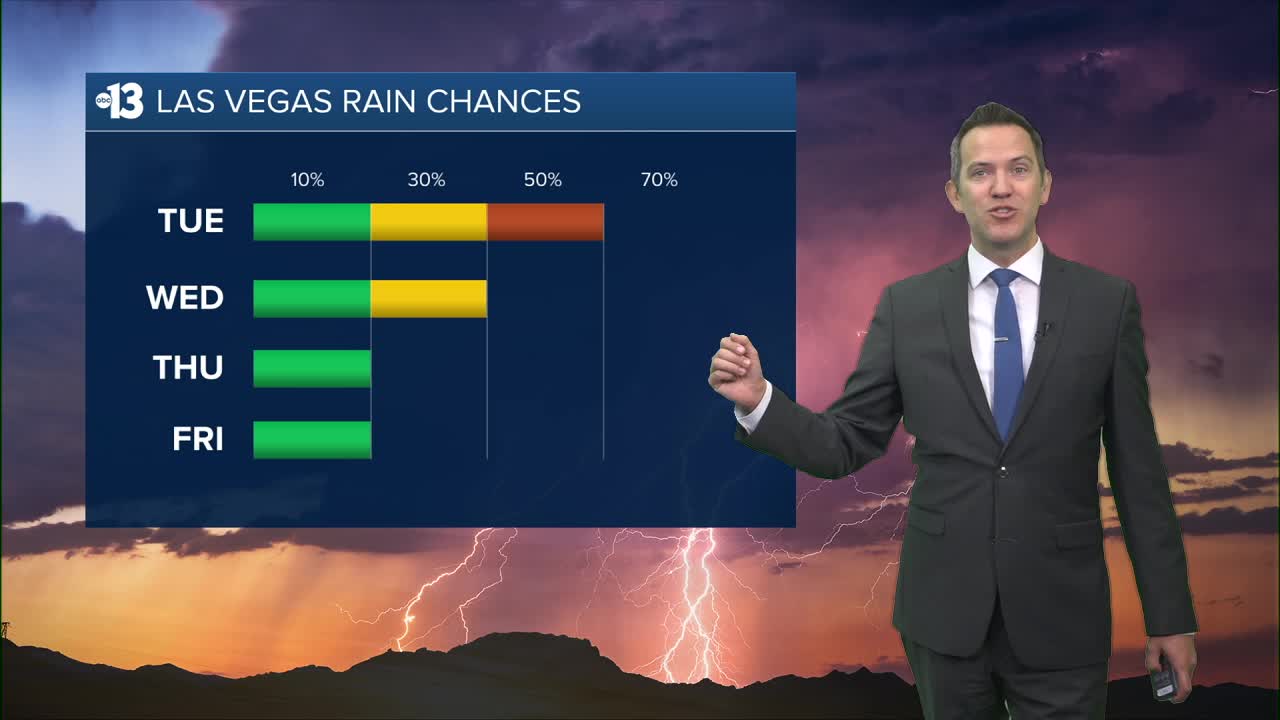
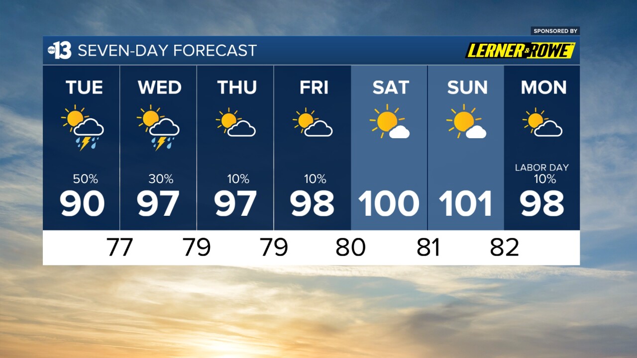
Rain and storm chances climb to 50% today and linger at 30% tomorrow.

Highs today may be limited to the upper 80s, assuming daytime rain and storm chances keep the sky mostly cloudy. With mid-to-late afternoon peeks of sun, some areas may reach the low 90s.
Nighttime lows drop to the upper 70s late.
Highs trend to the mid-and-upper 90s Wednesday, Thursday, and Friday. This weekend looks hotter, near 100°, and mostly sunny.
When it's not stormy or cloudy, the UV index is still "very high" from 11 a.m. to 2 p.m. (sunburn in 15 minutes). Sunscreen, a broad hat, and light-colored, lightweight clothing are smart if you're outside for any length of time between 9:00 a.m. and 4:00 p.m.
The forecast pollen levels are "medium" this week, with ragweed, chenopods, and grass listed as the predominant pollen types.
