

MORNING: Sunny with wake-up temperatures in the upper 40s and low 50s and light winds at 5 mph.
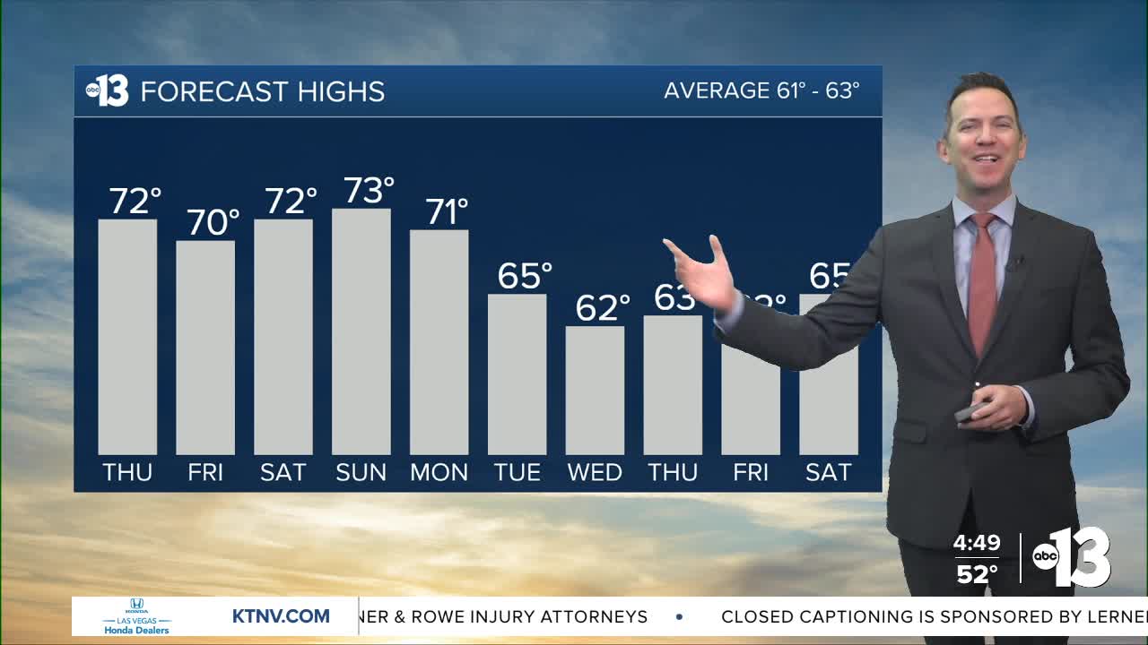
AFTERNOON: Sun gives way to increasing high clouds from the south by late afternoon. Highs in the low 70s with northeast breezes at 5-15 mph.
EVENING: Mostly cloudy with a 10% chance of a shower and temperatures dropping from the 60s into the 50s by 9 p.m.
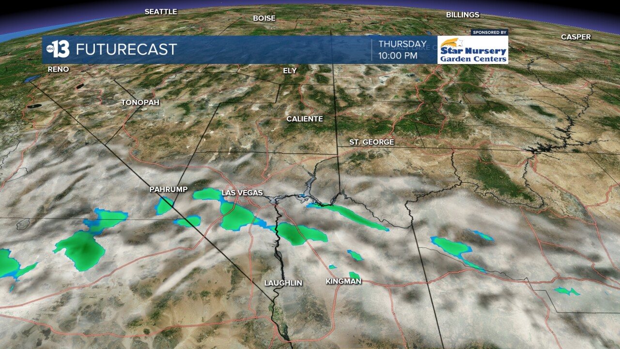
TONIGHT: Mostly cloudy with a 10% chance of a shower and lows in the low 50s.
Highs Friday approach 70° under a mix of clouds and partial sunshine with a 10% chance of a shower. Breezes look light, at only 5-10 mph.
Both weekend days look fantastic, weather-wise. Highs rise to the low 70s with a mostly sunny sky and winds will be light, at only 5-10 mph.
Nighttime and early morning lows will be in the upper 40s and low 50s for the next several nights.
We'll squeeze out one more day in the low 70s Monday, despite mostly cloudy conditions, thanks to southwest breezes at 10-20 mph. A 10% chance of a shower returns Monday night.
Highs dip to the mid 60s Tuesday and low 60s Wednesday along mostly cloudy conditions and a 20% chance of passing showers each day. Rain amounts appear light both days.
Next Thursday into the start of the following weekend brings low-to-mid 60s, but another series of shower chances will bring cooler highs in the 50s by mid-month.
The air quality forecast is "moderate" this week due to particle pollution.
The forecast pollen levels are "medium" over the next four days, with juniper and ash listed as the predominant pollen types.
Even though it's winter, the UV index is "moderate" from 11 a.m. through 1 p.m., meaning a sunburn could happen in 45 minutes for some people, so grab a hat if you're outside for that long around midday.