

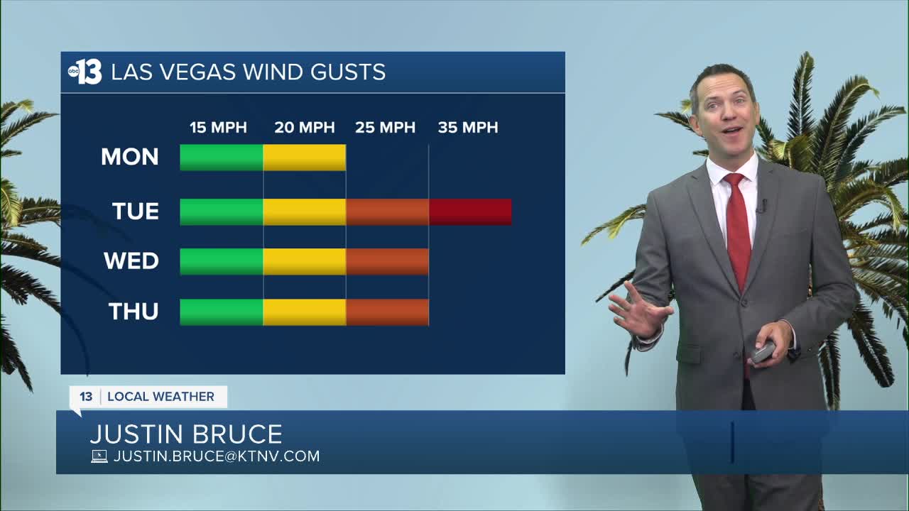


MORNING: Sunny and warming up from the 70s early to the 80s by 9 a.m.
AFTERNOON: Mostly sunny with highs in the mid 90s and south-southwest breezes at 10-20 mph.
EVENING: Mainly clear with 10-15 mph southwest breezes and temperatures in the 80s after 8 p.m.
TONIGHT: Lows in the low 70s with 10-15 mph breezes.
Tuesday starts in the 70s with some 15-25 mph breezes, then delivers 30-35 mph gusts from midday through midnight. Expect highs in the low 90s tomorrow with increased afternoon clouds. A Wind Advisory begins at 3 p.m. tomorrow for places like Pahrump, the Spring Mountains, Indian Springs, Lake Mohave, and Laughlin. It does not include Las Vegas, Lake Mead, or Mesquite. The Wind Advisory runs through 5 a.m. Wednesday.
Readings fall to the 60s by Wednesday morning, and highs Wednesday are limited to the low 80s (about 10° below-average) as southwest winds linger at 15-25 mph through the day.
Thursday starts in the low 60s and highs will be limited to 80° as afternoon breezes pick back up to 15-25 mph.
Friday is calm and sunny with temperatures still below-average; we'll start in the low 60s and finish in the mid 80s.
A warming trend to the low-and-mid 90s arrives this weekend (May 30th and 31st), and we'll be near 100° as June gets going next week.
Nighttime lows will rise to the low 70s Sunday night through next week.

The air quality forecast is "moderate" today (ozone) and tomorrow (ozone and particle pollution).
Forecast pollen levels are "medium" with ragweed, grasses, and oak listed as the predominant pollen types. Showering and changing after you've been outdoors, keeping windows closed when it's windy, and vacuuming and dusting often will help battle symptoms, in addition to taking allergy medication.
Sun protection is advised between 9 a.m. and 5 p.m. today; a hat, light-colored clothing, and sunscreen are important when you're outside. The UV index is strongest from 10 a.m. through 3 p.m., when a sunburn can happen in 15 to 30 minutes.