

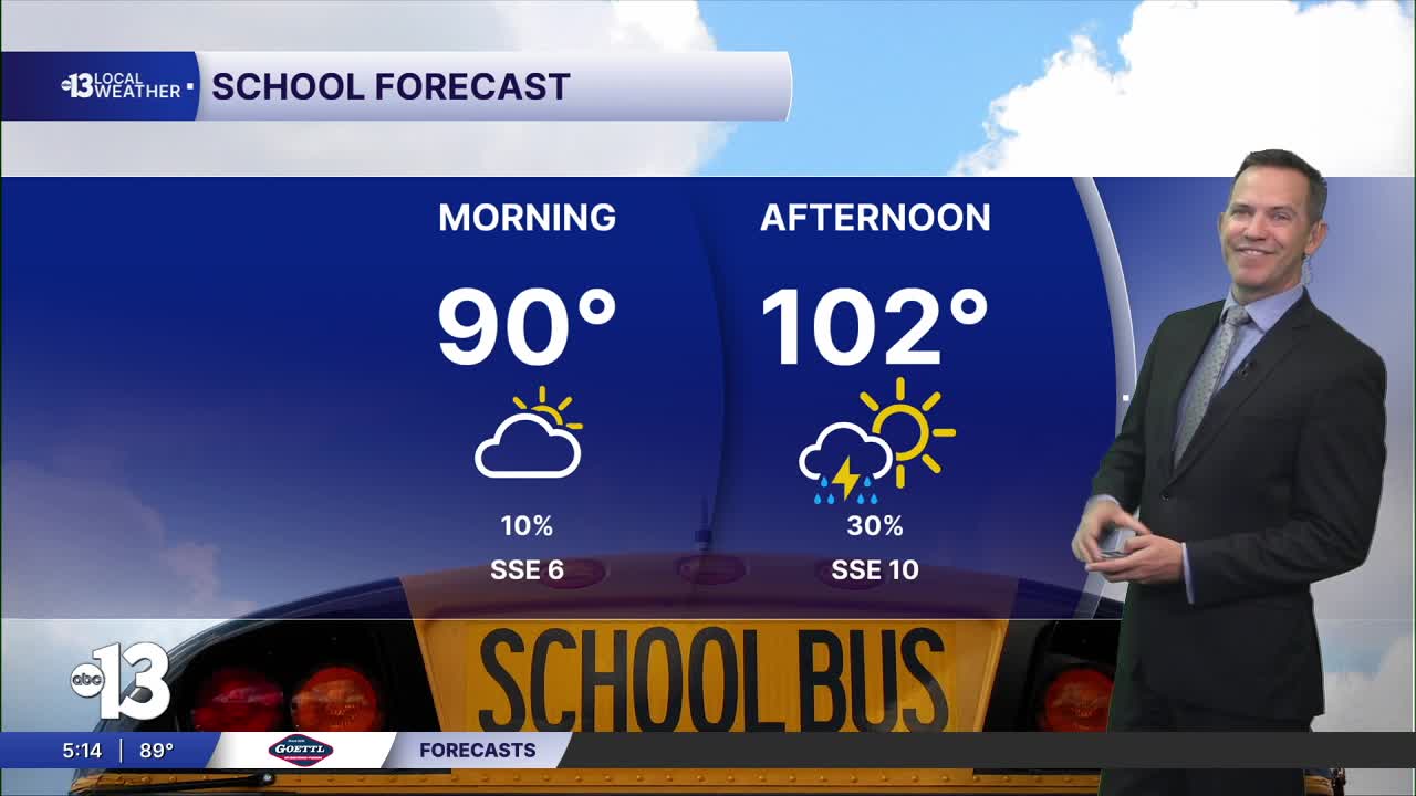


LAS VEGAS (KTNV) — MORNING: Warm and humid with partly-to-mostly cloudy conditions. Temperatures in the upper 80s early, then 90s after 8 a.m.
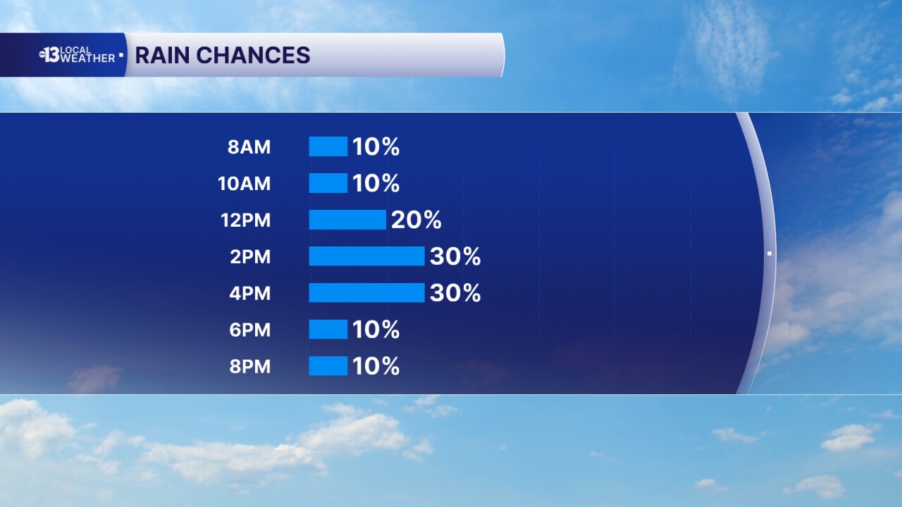
AFTERNOON: A 30% chance of showers and thunderstorms with a mix of clouds and sun. Highs near 103° with humidity and south winds at 10-20 mph.
EVENING: Partly cloudy with readings in the 90s.
TONIGHT: Partly cloudy and mild with lows in the mid 80s.
The air quality was very unhealthy on Monday due to dust and wildfire smoke from Arizona. The air quality forecast remains unhealthy for sensitive groups today but should improve to moderate tomorrow.
A favorable monsoon set-up continues Wednesday and Thursday as rain chances remain at 30%, then dip to 20% Friday and 10% Saturday. Humidity will drop off by Sunday into early next week.
Highs are near 100° Wednesday through Sunday, and may remain in the upper 90s Thursday and Friday for the first time since mid-July.
Overnight lows will cool to near 80° Thursday night through next week, that's about 10° less warm than it has been most nights so far in August.
Rain and storm chances dip to 10% Saturday and we'll be fully dry Sunday into early next week. Spotty storms may return by the end of next week, starting Thursday, August 20th.
Sun protection is advised between 9 a.m. and 5 p.m.; a hat, light-colored clothing, and sunscreen are important when you're outside. The UV index is strong enough between 10 a.m. and 4 p.m. that a sunburn can happen in just 15 to 30 minutes. From noon to 2 p.m. a sunburn is possible in just 10 minutes!
Forecast pollen levels are "low" this week, with ragweed and chenopods listed as the predominant pollen types. Showering and changing after you've been outdoors, keeping windows closed when it's windy, and vacuuming and dusting often will help battle symptoms, in addition to taking allergy medication.
