



LAS VEGAS (KTNV) — MORNING: It's in the upper 80s at sunrise and the low 90s are here by 8 a.m. We'll hit 100° after 10 a.m.
AFTERNOON: High of 108° with partly cloudy conditions and south breezes at 5-15 mph.

EVENING: Partly cloudy and warm, dropping to the 90s by 9 p.m.
TONIGHT: Partly cloudy with lows in the mid-to-upper 80s.
An Extreme Heat Warning continues through Friday as highs remain between 108° and 110° each afternoon.
The Las Vegas forecast of 109° Wednesday and 110° Thursday would tie the record high for each day.

Warm nights and early mornings (mid-to-upper 80s) will continue into the weekend. The moon is officially full on Thursday night, and won't be far from it the next few evenings:

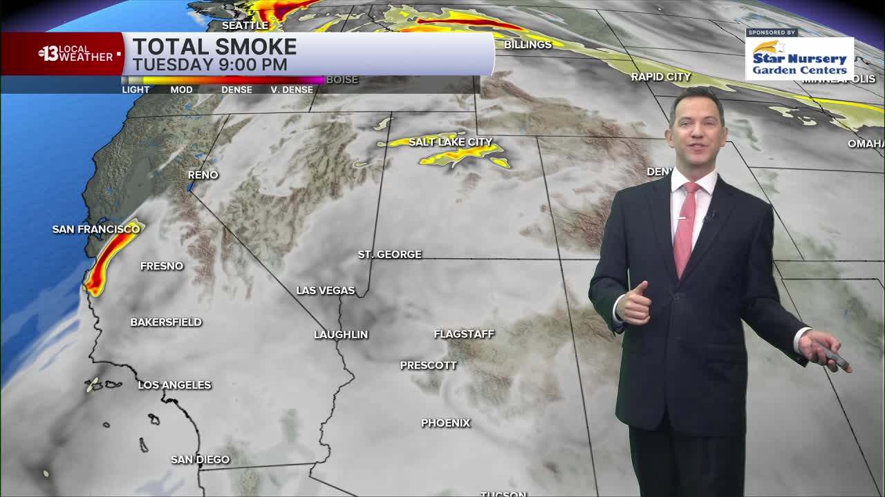
The air quality forecast is "moderate" today and tomorrow due to ozone and the potential for some wildfire smoke due to fire activity in the northern Baja Peninsula of Mexico. Smoke from the Hawk Fire around Reno will continue to drift northeast and not impact Southern Nevada.
We'll see 5-15 mph south breezes this afternoon before a windy stretch starts Thursday. Gusts of 25 mph then will increase to 30-35 mph Friday through early next week.
Weekend highs will reach 106° Saturday and 102° Sunday. Upper 90s are possible early next week.
Sun protection is advised between 9 a.m. and 5 p.m.; a hat, light-colored clothing, and sunscreen are important when you're outside. The UV index is strong enough between 11 a.m. and 2 p.m. that a sunburn can happen in just 15 minutes.
Forecast pollen levels are "moderate" this week with ragweed, chenopods, and grasses listed as the predominant pollen types. Showering and changing after you've been outdoors, keeping windows closed when it's windy, and vacuuming and dusting often will help battle symptoms, in addition to taking allergy medication.
