



LAS VEGAS (KTNV) — MORNING: A warm start in the mid-to-upper 80s around Las Vegas with sun and light winds.
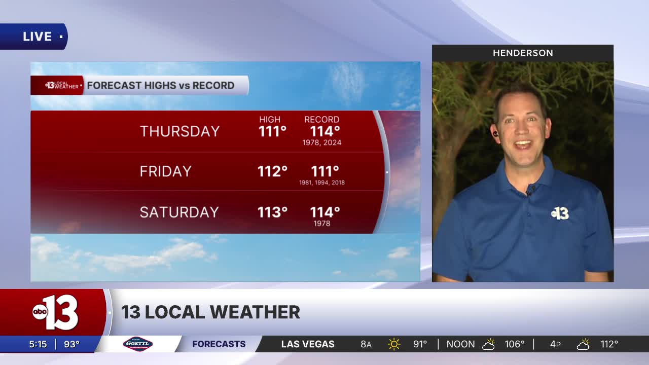
AFTERNOON: Partly cloudy and a bit humid with highs near 111° and light winds at 5-15 mph. A 10% chance for a stray shower or thundershower. The record today is 114° from 2024.
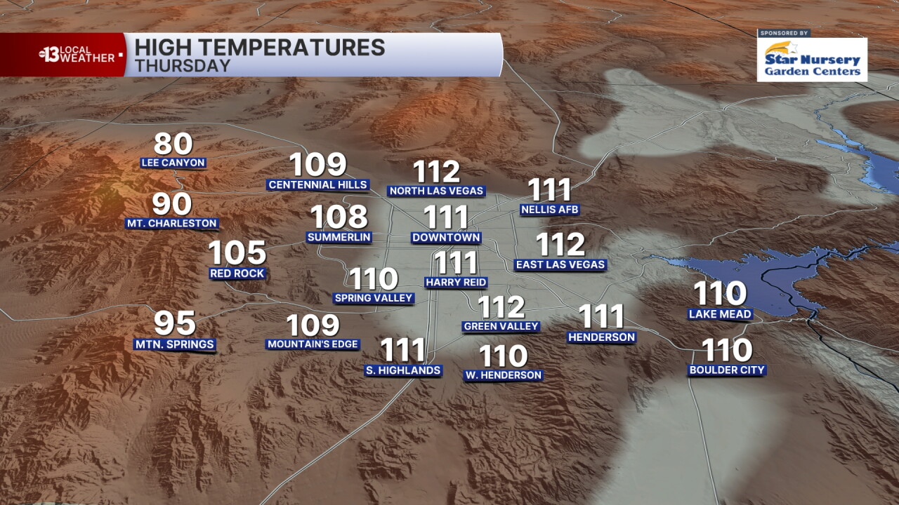
EVENING: Partly cloudy with 5-10 mph breezes and readings in the triple digits until 9 p.m.
TONIGHT: Partly cloudy and warm with lows in the upper 80s.
Isolated storms are possible over the mountains and can't be ruled out in the valley both today and tomorrow, and the increase in humidity will be noticeable. The chance in Las Vegas is only 10%.
The heat risk remains "major" to "extreme" through the weekend and the Extreme Heat Warning has been extended to Sunday as highs remain in the range of 111° to 113° each afternoon.
Overnight lows remain in the upper 80s to near 90° through next week.
The chance of a stray storm rises from 10% Sunday to 20% Monday, and lingers at 10% through next week. Humidity brings partly cloudy conditions and highs below 110° next week.
Sun protection is advised between 9 a.m. and 5 p.m.; a hat, light-colored clothing, and sunscreen are important when you're outside. The UV index is strong enough between 10 a.m. and 4 p.m. that a sunburn can happen in just 15 to 30 minutes. From noon to 2 p.m. a sunburn is possible in just 10 minutes!
Forecast pollen levels are "low" this week, with ragweed and chenopods listed as the predominant pollen types. Showering and changing after you've been outdoors, keeping windows closed when it's windy, and vacuuming and dusting often will help battle symptoms, in addition to taking allergy medication.
The air quality forecast is "moderate" today and tomorrow on account of ozone.
