

MORNING: Wake-up temperatures in the upper 60s and low 70s with sun and light winds.
AFTERNOON: Sunny with another record-smashing high (97° in Las Vegas) as south-southwest breezes hit 10-20 mph. Today will be the eighth consecutive record high temperature, the longest streak since records began in 1937, beating the prior benchmarks from July 2024 and August 2020.
EVENING: Sunset is near 7 p.m. and we'll drop into the 80s as south winds linger at 10-15 mph.
TONIGHT: Lows in the mid-to-upper 60s with a mainly clear sky and 5-15 mph breezes.
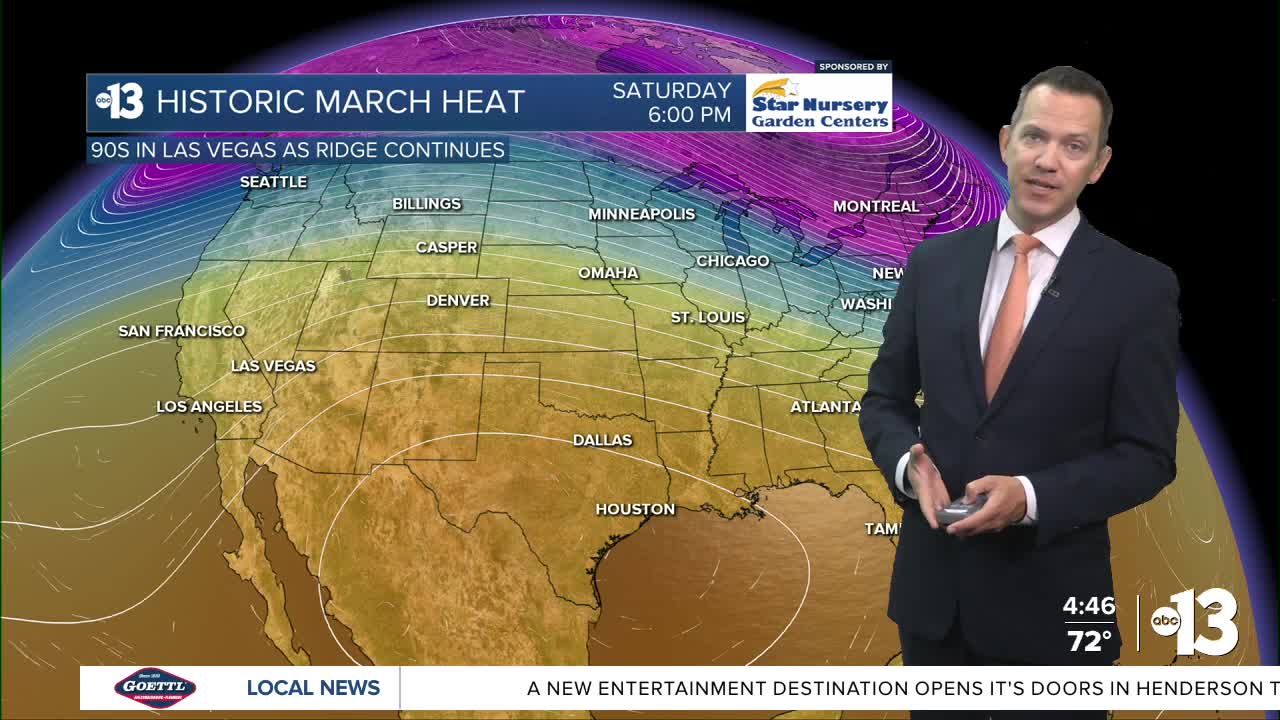
Records continue to fall this week, including 94° Thursday, 92° Friday, 93° Saturday, and 92° Sunday. This March is the hottest on record, running more than 11° above-average.
We'll turn partly-to-mostly cloudy Saturday and Sunday as southwest winds aloft carry in moisture for mid-and-high level clouds as a trough of low pressure approaches the West Coast. Weekend gusts range from 20-25 mph each afternoon.
Lows at night remain in the mid-to-upper 60s in Las Vegas through the weekend.
Las Vegas highs dip to the mid 80s Monday and the mid-to-upper 70s next Tuesday and beyond as low pressure covers the Western states for the first time in a couple weeks.

The UV index is "very high" from noon through 2 p.m., sun protection is advised between 10 a.m. and 5 p.m. A hat, light-colored clothing, and sunscreen are important when you're outside during that time. A sunburn can happen in as few as 15 minutes when the sun is highest in the sky.
Forecast pollen levels are "extreme" this week. Across the valley, mulberry, ash, and juniper are the predominant pollen types. Showering and changing after you've been outdoors, keeping windows closed when it's windy, and vacuuming and dusting more often will help, in addition to taking allergy medication.
The air quality forecast is "moderate" this week due to ozone and particle pollution, which accumulates when we have warm days.