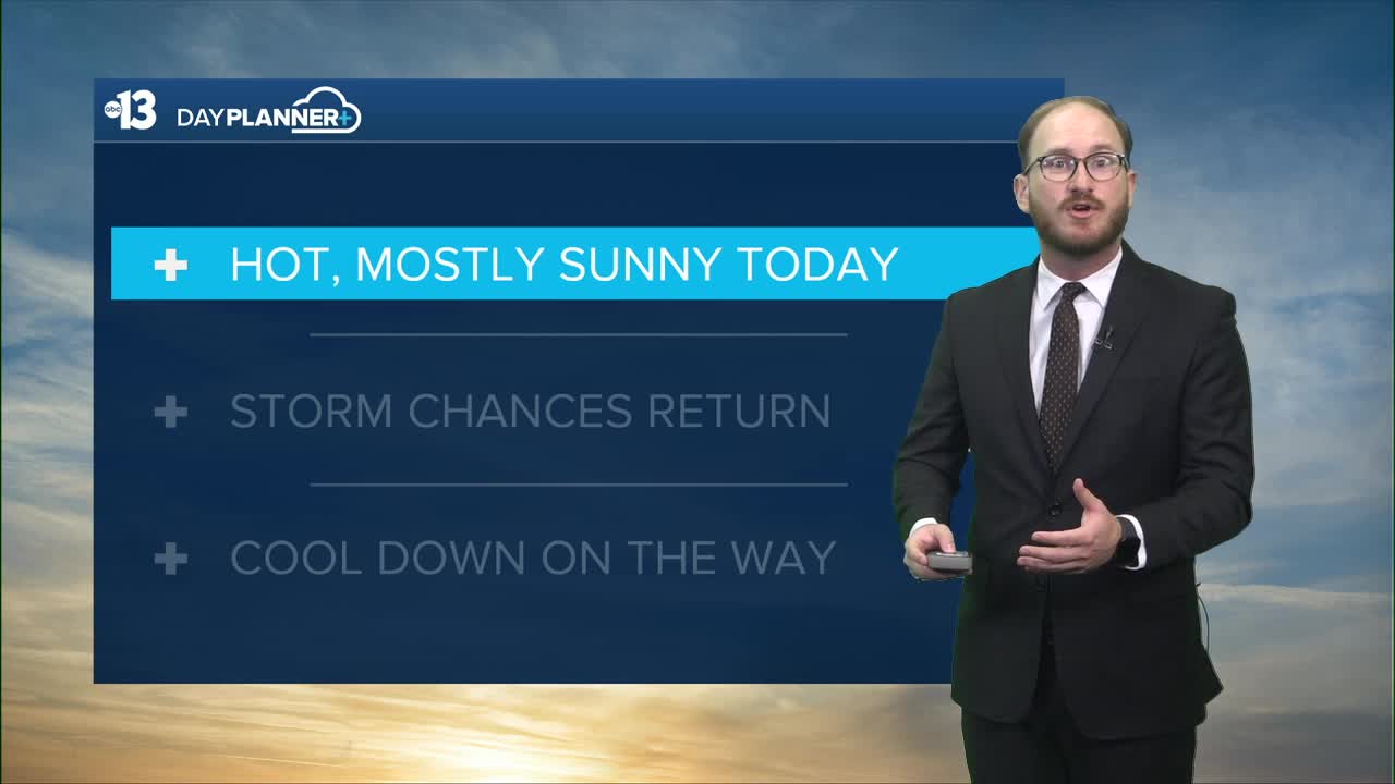


THIS AFTERNOON: Hot and mostly sunny, daytime highs around 98 degrees
TONIGHT: Mostly clear, overnight lows in the mid 70s
TOMORROW: Rain chances start around noon and increase to 50% by the evening and overnight, highs in the low 90s
FRIDAY: Chances for rain around 50% most of the day but start to decrease overnight, daytime highs around 90 degrees
__________________________________________________________
A hot Wednesday is on tap for Southern Nevada, but a pattern shift is on the way tomorrow that will cool our temperatures and mark the return of rain chances to the forecast.
Daytime highs in the Las Vegas Valley will be in the upper 90s with lots of sunshine today — we're forecasting an official high of 98 at Reid Airport. Overnight lows will cool down to the mid 70s for a majority of our neighborhoods.
Our average high for September 17 is 95 degrees, so being a notch or two shy of triple digits means we're a handful of degrees above normal for your Wednesday.
Today would be a perfect day to hop in the pool, not just because it'll be sunny and hot, but because it'll be the last chance for a few days to have some real nice pool weather with the return of rain chances to our forecast starting tomorrow and through the rest of the week.
WATCH | Wednesday's perfect pool forecast!
Moisture from the remnants of Tropical Storm Mario will start to make its way into our region early tomorrow morning, coming from the Eastern Pacific after it broke up off the coast near Baja California.
Right now it looks rain chances are set to start just before noon Thursday, picking up in the afternoon through the overnight hours into Friday morning. The best chances for rain look to be overnight Thursday into Friday, and through most of the day Friday.

Precipitation could materialize in the form of thunderstorms or lighter, more continuous rain, depending on how the rest of the day shapes up. If the sun is able to break through the clouds and increase daytime heating and instability on Friday then stronger thunderstorms and showers are more likely to form. If not, then rain will likely be steady.
There's still a lot of unpredictability on how exactly this system will shape up — really what we know at this point is that more moisture is on the way, and our rain chances will increase to at or slightly above 50% by Thursday night and into most of Friday.
Rain chances stick around the first half of Saturday near 30%, this time looking like more of a monsoon-type set up.
Temperatures will hover a degree or two above or below 90 Thursday and Friday, with a return to more seasonal norms on Saturday and Sunday back in the low to mid 90s.
Enjoy your Wednesday!
