

TONIGHT: Temperatures in the upper 40s and low 50s through our neighborhoods
TOMORROW: High temps near 70 in Las Vegas with lots of sunshine, overnight lows in the upper 40s
SUNDAY: A notch or two cooler but not by much, highs in the upper 60s and low 70s around the region
NEXT WEEK: A lot more of the same—highs in the upper 60s, sunny and dry
_______________________________________________
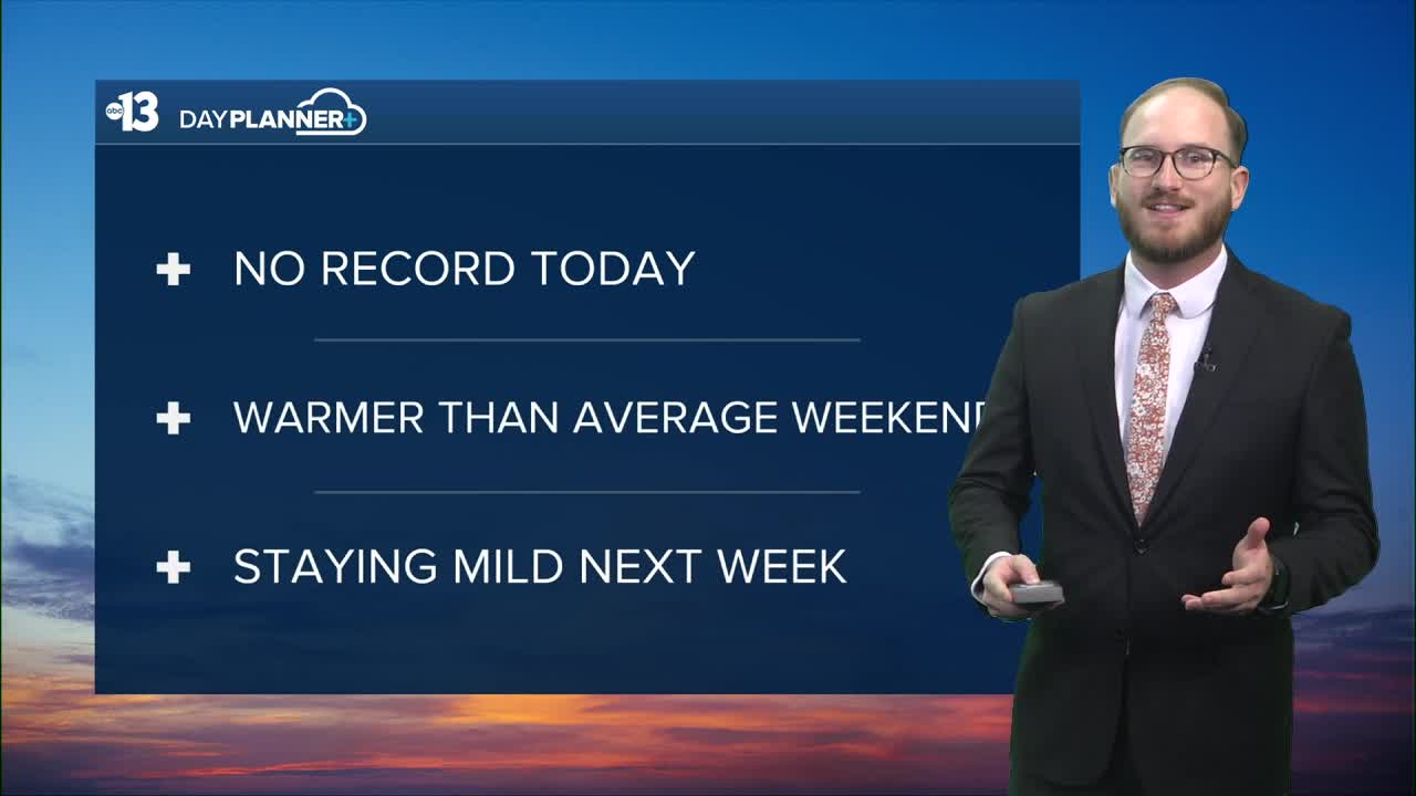
After a record-setting Thursday, we just missed a record today—but our Finally Friday was about as good as you can ask for, especially in mid-December in Southern Nevada.
Our daytime high was 72 degrees at Reid Airport, two degrees shy of the record of 74 set in 1958 and 15 degrees warmer than our normal high of 57 for December 12.
WATCH|Friday's high temperature two degrees shy of record
It's a whole lot more of the same as we set you up for your weekend and look beyond: staying dry with mostly clear skies and highs in the upper 60s and low 70s.
Saturday will be our next best chance to either tie or set a record: we're calling for 70 degrees—the record is 71 set eight years ago in 2017.
Sunday's forecast will be virtually identical, just a notch cooler at 69.
Overnight low temperatures over this warm stretch are a little closer to normal than our daytime highs, but are still about 10 degrees above average in the upper 40s.
The reason we're seeing this stretch of above average warmth is due to a strong ridge of high pressure in the upper layers of our atmosphere that's covering most of the Western U.S., and pushing the jet stream up into Washington State, responsible for the atmospheric river that's pummeled the Pacific Northwest with more than a foot of rain in places over the last several days.
On the other side of the ride of high pressure is a deep trough of low pressure that's funneling frigid arctic air into the Great Lakes and upper Midwest this weekend, dropping their temperatures 20 to 30 degrees below normal in places and bringing with it nasty winter weather.
Nothing like that in our neck of the woods though, so definitely take advantage of what's shaping up to be a spectacularly beautiful Southern Nevada weekend with whatever you have in store!
