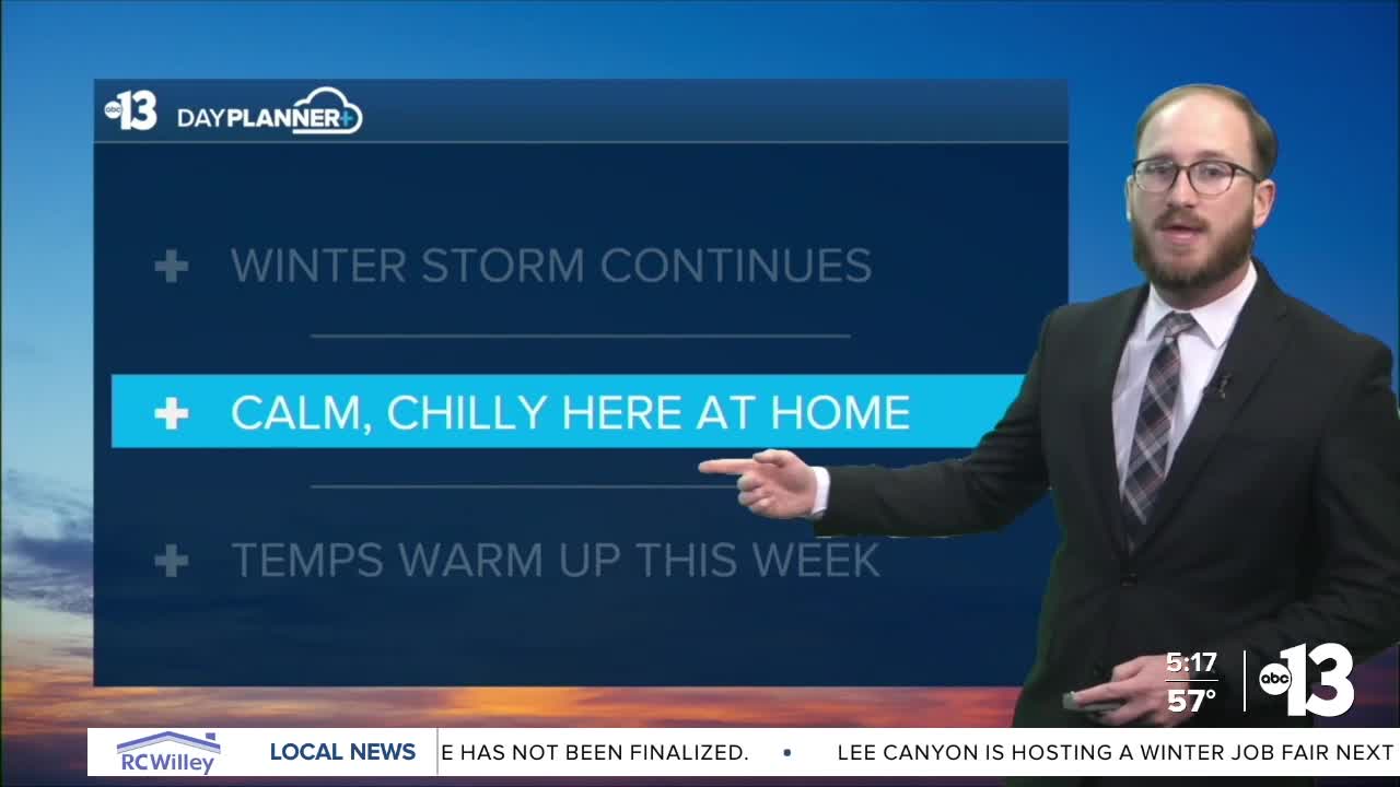


TONIGHT: Overnight lows in the mid to upper 30s, some light cloud cover rolling in to start Monday
TOMORROW: Highs near 60, light winds, another chilly evening
LOOKING AHEAD: Highs warm back up above normal—near 70 to end the week—with calm winds and good amounts of sunshine
_____________________________________________________
A relatively chilly Sunday (chilly to us desert dwellers, anyway) was the weather story here in Southern Nevada, as friends and family across the country continue to deal with the impacts of a massive winter storm, bringing lots of snow and ice and frigid temperatures to a large chunk of the U.S.
We reached 58 degrees at Reid Airport on Sunday (we were forecasting 57), which is two degrees below our normal high for January 25 of 60 degrees.
Another cold night is in store tonight, with lows once again in the mid to upper 30s. That means you should have your jackets handy as you head out the door to kick off your work week tomorrow morning.
We'll be near 60 tomorrow with some neighborhoods eclipsing the 60 degree mark, others just below it—we're calling for 59 at Reid Airport.
Mostly sunny skies, calm winds and dry conditions will remain the forecast story this week, as we start a gradual warming trend back above normal to round out January: we'll be in the mid 60s by mid-week, and be knocking on the door of 70 by next weekend.
Enjoy the rest of your weekend!
