

TONIGHT: Clear skies. Low: 50°
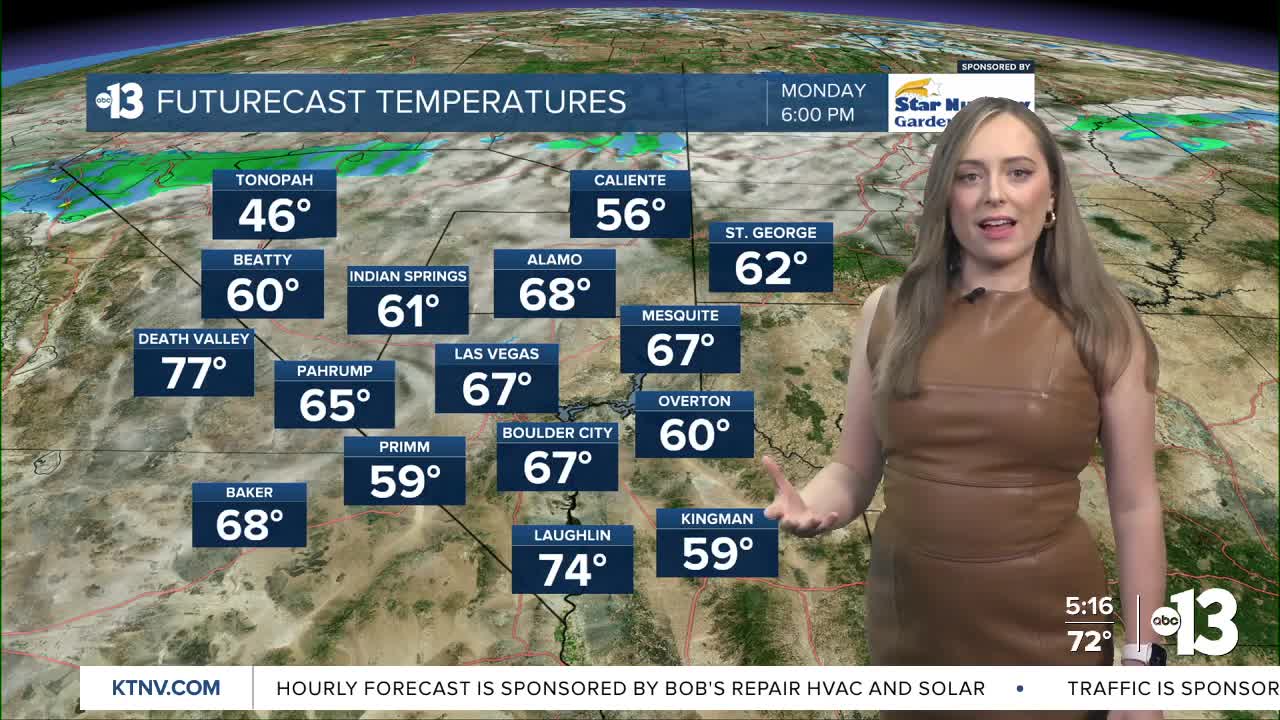
MONDAY: Increasing cloud cover. Light, variable wind. High: 74°
TUESDAY: Mostly cloudy. Wind S 5-10mph. High: 74°
Temperatures swelled to well-above average levels Sunday with a high of 73 degrees recorded at Harry Reid this afternoon. That's 12 degrees above normal for this time of year and the warmth won't stop for the next few days.
We are tracking the influence of several rounds of low-pressure activity spreading into the Pacific Southwest this week. We'll see increasing cloud cover starting Monday, winds picking up Tuesday, and Wednesday evening we're tracking an uptick of precipitation chances. Ultimately, the overall influence of this week's system will be low in Southern Nevada, aside from temperatures dropping back to the upper 60s by mid-week.
Over next weekend, we'll see another stab at precipitation chances as an additional round of low pressure is expected to develop and move through.
Fingers crossed, these systems will help snowpack levels across the West which have been experiencing snow drought. Here's an update on the water supply that I included in tonight's forecasts:
