

TODAY: Increasing cloud cover. Light, variable wind. High: 573°
TONIGHT: Mostly cloudy. Low: 51°
TOMORROW: Partly cloudy. S SE wind 5-10 mph, gusts up to 15mph. High: 72°
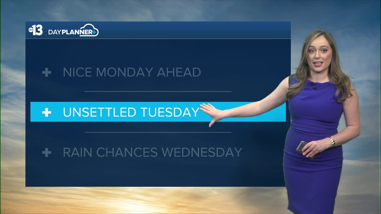
We are tracking the influence of several rounds of low-pressure activity spreading into the Pacific Southwest this week. We'll see increasing cloud cover starting Monday with high temps remaining above normal in Southern Nevada. Typically, Las Vegas will see the low 60s this time of year.
Winds pick up Tuesday with occasional 15-25mph gusts in the afternoon. A Lake Wind Advisory has been issued for Lake Mead and the Lower Colorado River Valley, so watch out for choppy conditions on our waterways.
Wednesday, a slight chance of precipitation in the Las Vegas valley with snow chances in the Spring Mountains. Showers will be light and spotty. Ultimately, the overall influence of this week's system will be low in Southern Nevada, aside from temperatures dropping back to the 60s by mid-week.
Over next weekend, an additional round of low pressure is expected to develop and move through. Our CPC outlook for next week is looking cooler and wetter than normal.
