

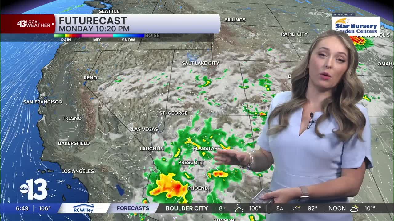


TONIGHT: Partly cloudy skies. Isolated t-storms. Low: 89°
TOMORROW: Partly cloudy skies. Breezy with S SW 10-15mph in the afternoon with gusts up to 25mph. High: 111°
TUESDAY: 20% chance rain & t-storms. High: 105°
Active weather rolled through the Las Vegas Valley Sunday evening triggering a Severe Thunderstorm Warning affecting the Henderson, Green Valley area. Heavy rain up to 0.5 inches of accumulation, along with hail and lightning pushed through the valley. By the evening hours, much of this activity cleared out with a stronger storm with a few lightning strikes staying put over the I-15 south of town towards Jean.
Rain chances remain low Monday with continued cloud cover and elevated humidity. An isolated thunderstorm could develop, although chances remain under 10%.
Highs will reach 110 degrees in the Las Vegas Valley tomorrow — well above normal for this time of year. An Extreme Heat Warning remains in effect for Clark County through 8PM Monday.
