
MORNING: Sunny with 60s early this morning, winds pick up from the south and hit 15-25 mph by 10 a.m.
AFTERNOON: Windy, with south winds at 25-35 mph. Highs in upper 70s to near 80° with thicker high clouds.
TONIGHT: Winds of 20-30 mph under a partly cloudy sky with lows in the mid 50s late.
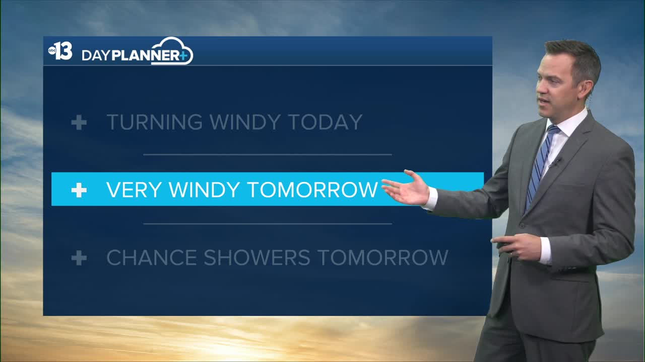
TOMORROW: Very windy (midday and afternoon gusts 35-40 mph) with a 50% chance of showers from midday through afternoon. Highs in the upper 60s are more than 10° below-average. Rumbles of thunder are possible, but rain totals look light, under 0.10". Rain and wind-blown snow are expected in the Spring Mountains, with a dusting for Mt. Charleston and several inches of wet snow for Lee Canyon.

Wednesday is cool and calmer, with low 50s early and mid 60s in the afternoon, which is about 15° below-average.
Thursday sees 70°, with mid 70s Friday and upper 70s this weekend. Next week also looks sunny and pleasant with highs in the 70s, which is close to average for mid-to-late October.
Lows will be in the low-and-mid 50s late at night through sunrise each morning this week.
