

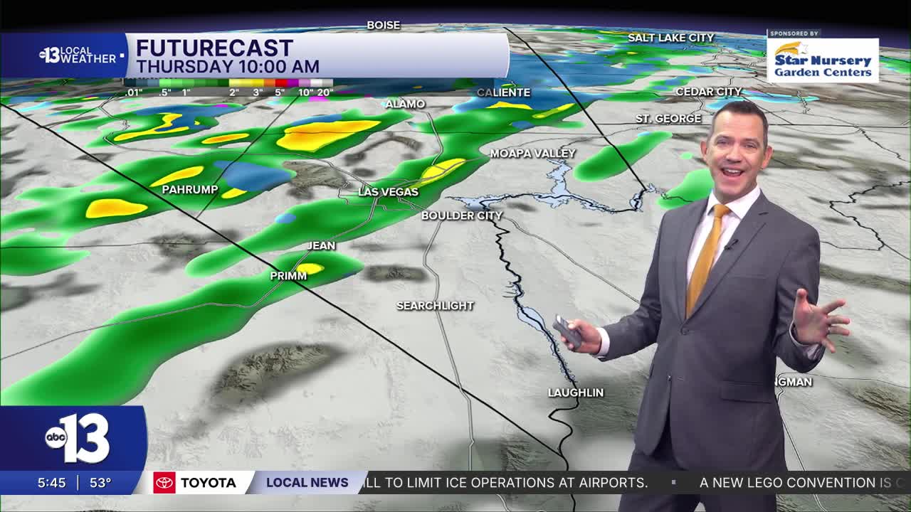


LAS VEGAS (KTNV) — MORNING: Occasional light showers with temperatures in the upper 40s and low 50s early.
AFTERNOON: Passing rain, highs limited to the low 60s, and some 10-20 mph breezes. Snow expected above 6,000 feet in the Spring Mountains.
EVENING: Showers exit early, then south winds ramp up to 20-35 mph as readings hover in the 50s.
TONIGHT: Winds taper late tonight, with lows in the mid 40s.
Las Vegas expects a 70% chance for showers today with amounts near 0.10" in most valley neighborhoods.
Snow levels fall to 6,000 feet with this system, and around 9" to 12" is expected for Mt. Charleston and Lee Canyon. Wind gusts may hit 50 mph in the Spring Mountains, causing blowing snow and poor visibility, so travel will be challenging.
Similar chill in the mid 40s Friday morning with diminishing winds. Highs are limited to 60° despite being mostly sunny. Saturday and Sunday start in the low 40s, with upper 30s in colder valley neighborhoods, and highs are limited to the mid-and-upper 50s across the weekend despite a mostly sunny sky. Winds will be light.
Expect evening temperatures in the upper 40s Friday and Saturday with calm, dry conditions. Tire traction may be a consideration during the F1 qualifying session Friday (8-9 p.m.) and the Las Vegas Grand Prix Saturday (8-10 p.m.) on account of the chilly weather.
Monday and Tuesday look partly cloudy with cool highs near 60° and fairly light breezes.
Sun protection is still advised between 10 a.m. and 2 p.m.; a hat, light-colored clothing, and sunscreen are important when you're outside. The UV index is high enough that a sunburn can happen in 30-45 minutes.
