

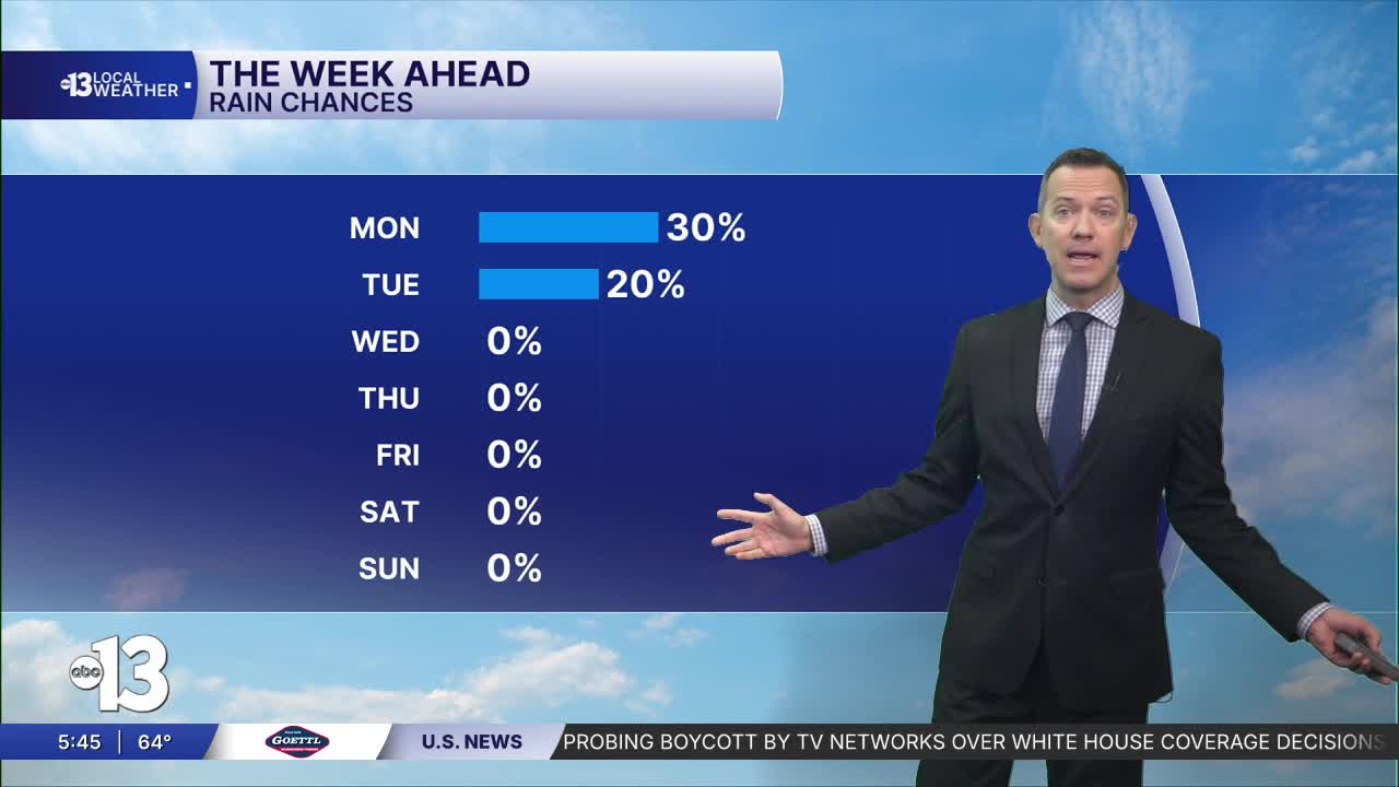


LAS VEGAS (KTNV) — MORNING: Readings near 60° early with a 30% chance of passing showers, otherwise partly cloudy. South-southwest winds at 10-20 mph.
AFTERNOON: Partly cloudy with a 30% chance of passing showers and thundershowers, otherwise partly cloudy with south-southwest winds at 15-30 mph.
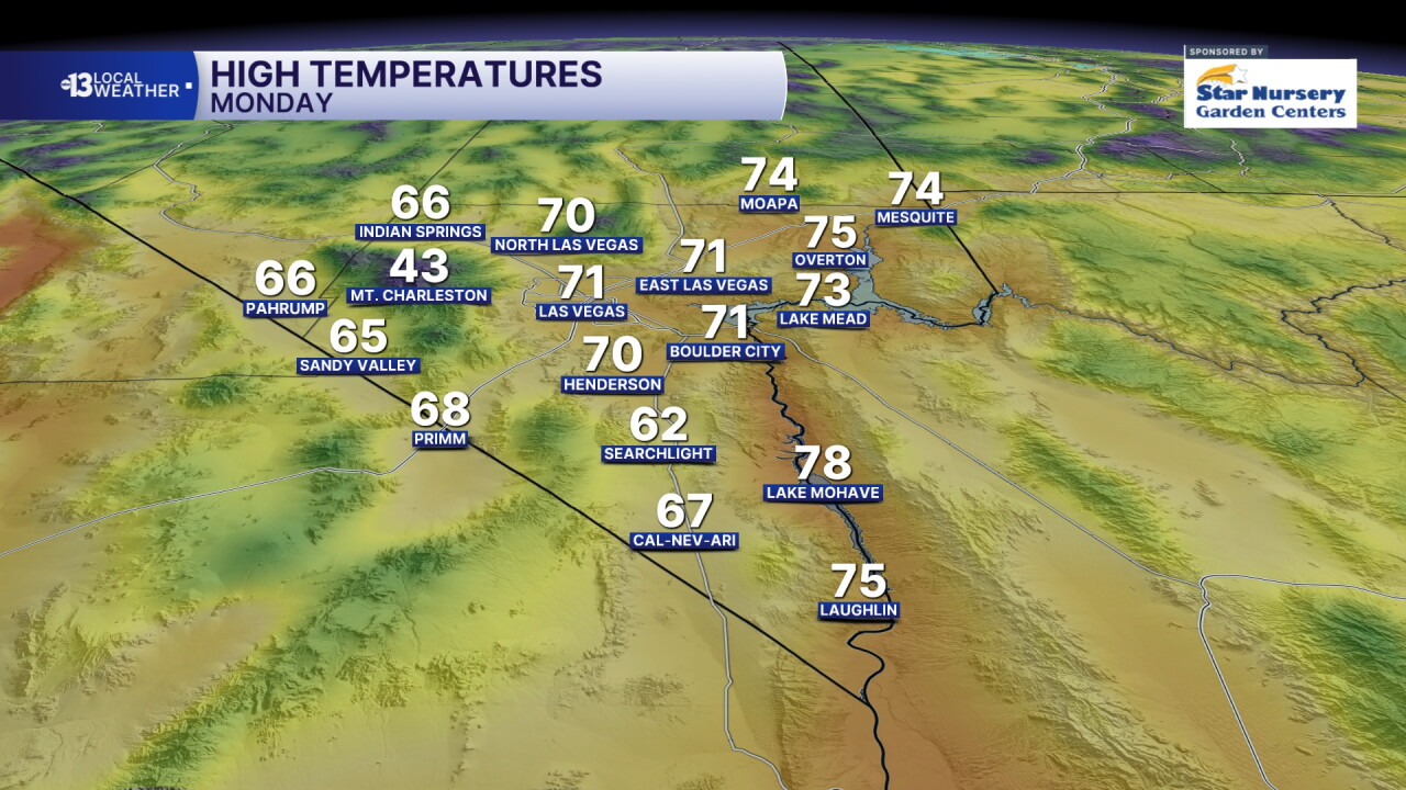
EVENING: Readings drop through the 60s with partly cloudy conditions and a 20% chance of a brief passing shower with west-southwest breezes at 10-20 mph.
TONIGHT: Lows in the low 50s with a partly cloudy sky and a 20% chance of a brief passing shower.
A small chance for a lingering shower carries into Tuesday morning, but it's only 20% in Las Vegas. We'll be partly cloudy and chilly with wake-up temperatures in the low 50s and west-northwest breezes at 10-20 mph. Highs in the afternoon are limited to the mid 60s, and north-northwest winds at 10-20 mph won't make it feel any warmer.
Tuesday night into Wednesday morning brings lows in the low 50s, but sunshine will push daytime highs back to the low 70s in spite of north-northeast winds at 10-20 mph.
Thursday and Friday see gusty north and northeast winds, sunshine, and morning temperatures in the mid 50s with afternoon highs in the upper 70s. Gusts hit 35 mph Thursday and 30 mph Friday.
The weekend ahead looks superb: light winds with daytime highs back in the upper 70s Saturday and low 80s Sunday.
