

LAS VEGAS (KTNV) — Hazy conditions this morning, and again this evening, from wildfire smoke coming our way from California's Gifford, Gold, and Rosa fires.
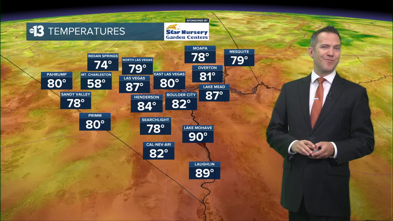
Aside from the haze, Las Vegas expects temperatures in the mid 80s at sunrise to sizzle at 109° this afternoon. We'll see southwest winds in the afternoon at 15-25 mph.
This evening drops to the 90s, and haze is still possible. Lows late tonight only fall to the mid 80s.

The heat this week is as intense as anything we've seen since the second week of July. Afternoon breezes hit 15-30 mph tomorrow (110°) and Friday (109°). Smoke can't be ruled out those days, but we hope it's less intense than the next several days.
No rain or storm chances are expected in the next week.
Weekend highs range from 107° to 108° and winds will weaken Sunday through early next week. The heat cranks back up a notch Monday and Tuesday (110°) as the ridge of high pressure that's been over New Mexico drifts closer to Southern Nevada.
The UV index is "extreme" from noon to 1 p.m. (sunburn in 10 minutes) and "very high" from 10 a.m. to 3 p.m. (sunburn in 30 minutes). Sunscreen, a broad hat, and light-colored, lightweight clothing are smart if you're outside for any length of time between 8:00 a.m. and 5:00 p.m.
The forecast pollen levels are "medium" this week, with grass and chenopods listed as the predominant pollen types.
