


LAS VEGAS (KTNV) — Have you wondered what the hottest parts of the valley are?
The results are in thanks to a new study from the Regional Transportation Commission of Southern Nevada and the National Oceanic and Atmospheric Administration.
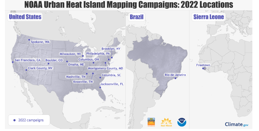
NOAA chose Clark County as one of 14 locations across the U.S. to carry out an Urban Island Heat Mapping Campaign in the summer of 2022.
More than 60 volunteers drove around the valley on Aug. 13, 2022 with sensors on their cars to capture about 138,000 temperature and humidity measurements.
The RTC said the data showed neighborhoods with the hottest temperatures are largely located in and around downtown Las Vegas, downtown North Las Vegas, the Historic Westside, and the eastern part of the valley.
Scientists said it was due to larger amounts of pavement and buildings, fewer concentrations of trees, and lower elevation.
RELATED LINK: See where your neighborhood ranked on the heat map

"Safety and comfort for passengers and vulnerable road users are top priorities for the RTC and the results we gathered from the heat mapping project will help us more responsibly plan for the future," RTC CEO M.J. Maynard said. "By better understanding what neighborhoods experience higher temperatures, we can continue to work with local jurisdictions to create initiatives that mitigate heat impacts and reduce the risks of heat-related dangers across our community."
According to the National Weather Service and KTNV meteorologist Kevin Janison, the average temperature in the valley last summer was 101.77 degrees.
That number is cooler than previous years due to the amount of thunderstorms that came through the area.
The RTC said they also installed a new type of "slimline" transit shelter to help mitigate the effects of heat.
The shelters include shading to protect waiting passengers from the sun and provide more lighting at night.
The agency said over 100 slimline shelters will be installed in the valley over the next year and more than 80% will be located in and around locations that ranked higher on the heat map.
RELATED LINK: Southern Nevada Extreme Heat Vulnerability Map
According to local health records, the annual number of deaths attributed to heat exposure in the valley near quadrupled from 2015 to 2021.
