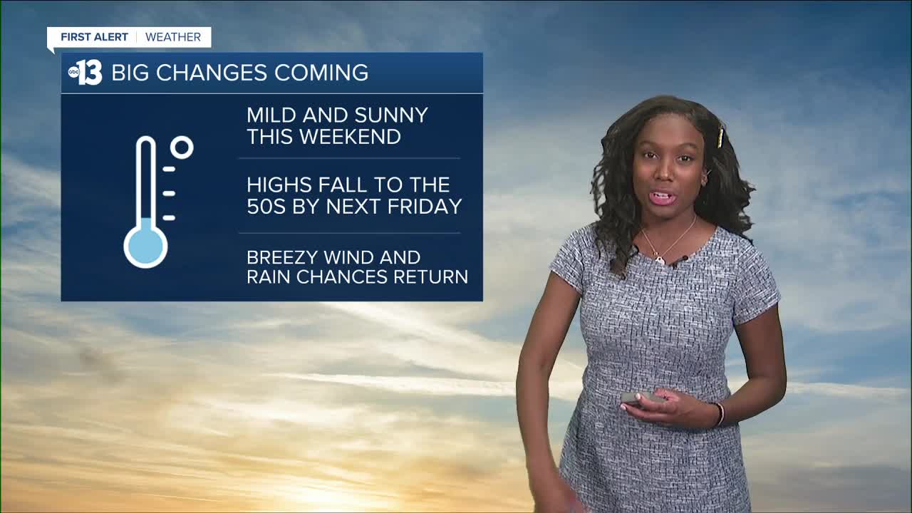


LAS VEGAS (KTNV) — Mild, above average temperatures will stick around through the weekend but big pattern changes are expected for next week. A weak cold front will pass through on Sunday. It’ll have little effect around the valley except for light winds. Gustier winds along the Colorado River Basin with gusts as high as 35 mph along the river. Gusts between 20-25 mph are possible for higher elevations.
This high pressure ridge that hasn’t moved in a week is going to tread off to our east. This will allow for a developing low pressure system off the Pacific Northwest to dive closer to the valley over a period of a few days. Highs will drop to the 60s for the week and the coolest air of the season is possible on Friday and the weekend with highs in the 50s.
This potent low will also increase chances for precipitation. Early in the week most of the valley is looking to stay dry with light showers possible for our higher elevations Tuesday and Wednesday. Thursday is when we’ll see the major shift in dynamics with those rain chances increase all of Southern Nevada including Las Vegas. Mountain snow is possible for the end of the week too as temperatures plummet. Scattered showers possible on the valley floor Thursday and Friday. Winds will pick up for the end of the work week. Highs will remain seasonably cool for the weekend.
