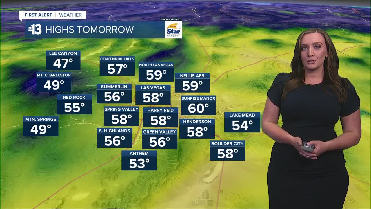

LAS VEGAS (KTNV) — Partly cloudy skies and cool temperatures stick around for the next few days. Tonight, we'll likely see more cloud cover which could lead to more mild temperatures early Tuesday morning. We'll drop into the low 40s overnight before warming into the upper 50s again Tuesday afternoon. Light winds can be expected through mid-week. An active weather pattern arrives mid-week which will bring breezy conditions and rain chances through Christmas and into the holiday weekend. Thursday and Friday (Christmas Eve) brings a 50% rain chance with snow and rain likely for the mountains. A 30% rain chance lingers Christmas Day with early morning temperatures in the 40s and daytime highs in the mid to upper 50s. Passing showers will be possible through the weekend and into early next week with partly cloudy skies.
